In the Second World War as the Allies were planning for D-Day and other missions they often put out pleas to the country for pictures and photographs of places of potential military importance: the coast of northern France was a favourite. People would send in their holiday snaps and the photographs would be collated to provide accurate knowledge of beaches and landing grounds. It was vital to the war effort.
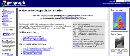
Geograph, which has been named as Yahoo’s Travel find of 2006, does much the same. It collates pictures of these fair islands for fun, organising them by Ordnance Survey reference.
Registering is a bit of a rigmarole and the confirmation step asks all sorts of questions that a novice to the site won’t know their preference for (forum sort order?). You also have the option to add your own home OS reference. I was casting my mind back to pre-GSCE geography (Where are you now Mrs Ambrose?) and recalled that Streetmap had an OS function. Off I trotted to get my reference and after several tries and tinkers I found they actually wanted the Landranger reference. Tsk.
It’s a fun site though and the photography is generally pretty good. It will also be an invaluable source of information for any future invasion of Britain.
Great! Being able to view the most locale bus stops to you Dan will any surprise attack that bit more comfortable transport wise.
I did catch the site over Xmas and it feels much like what Flickr have tried to do with geo-tagging except this feels distinctly British.
Sorry to hear you found registering on Geograph so painful. I recently reworked the profile page to explain what all the options were and lay them out more clearly. If you have suggestions for improving the signup process, let me know!
Reminds me of the good old Doomesday Project from the eighties…. Lets hope the Internet lasts longer than the BBC computers and laser players required to access the laser disks used back then!
http://www.si.umich.edu/CAMILEON/domesday/what.html
The Domesday 1984 data does live on in internet form!
http://www.domesday1986.com/